

WEF News
![]()
WEF News provides articles, videos, and other content from throughout the organization and across the water sector. The items below represent the full scope of the regulatory, organizational, membership, current events, and conference happenings at WEF.
Use the filters to narrow your search by Practice Area, More Topics, News Source, or Time.
To stay up to date with our latest news and announcements, join our mailing list.
Filters:
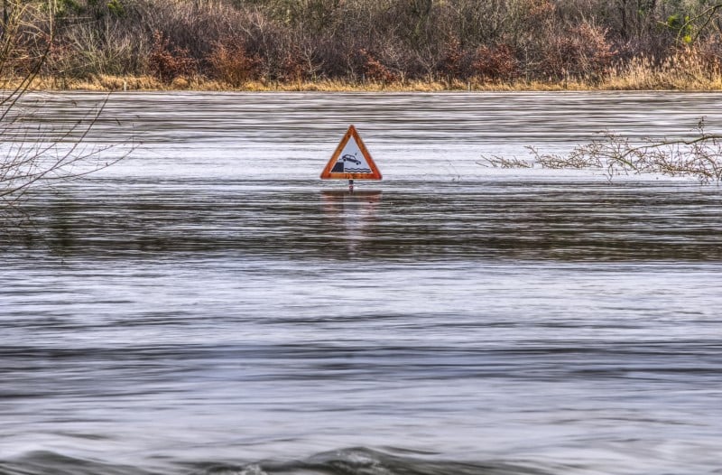
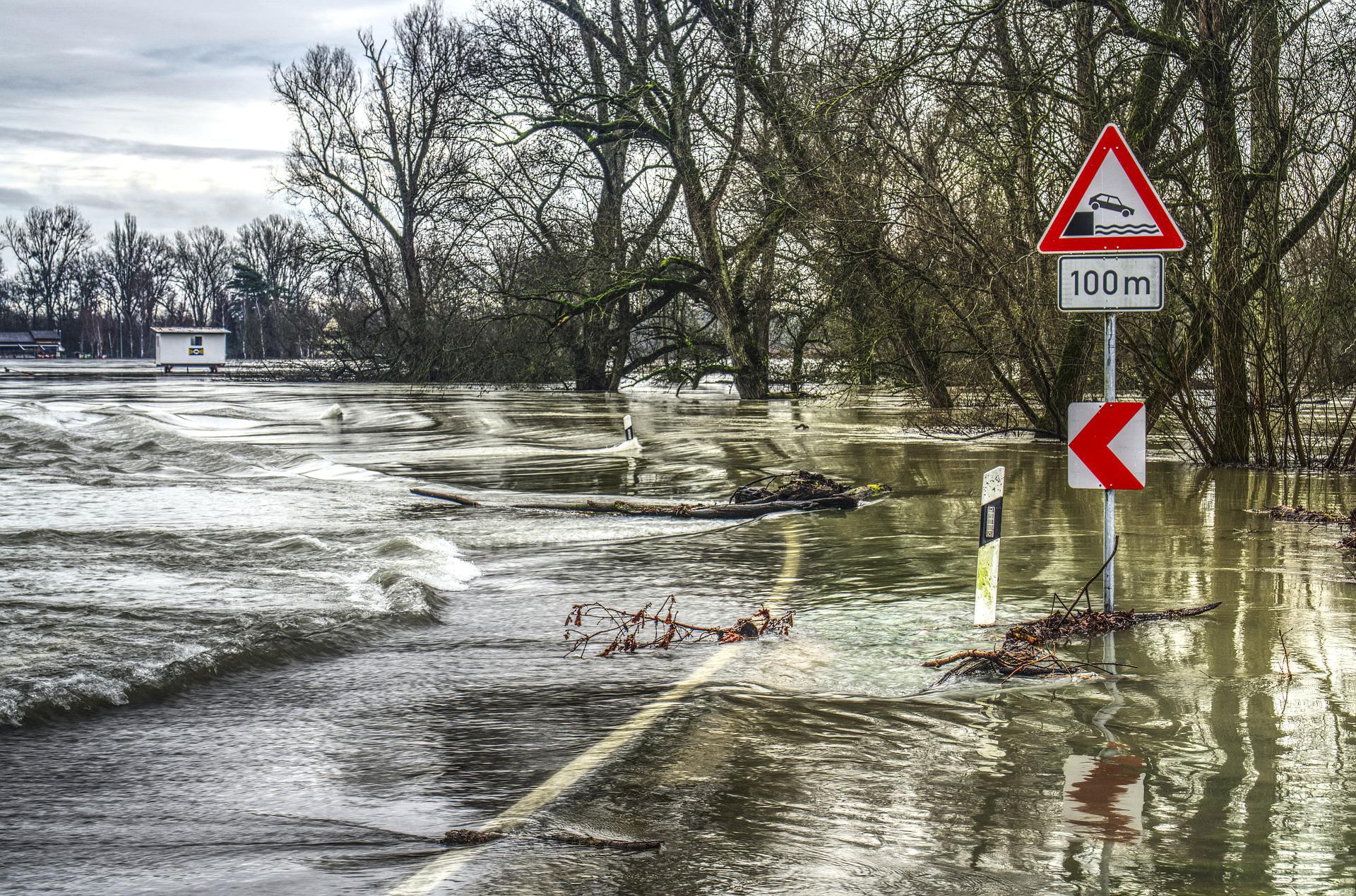
New commentary letter calls for departure from flood-modeling practices that encourage sensationalism...
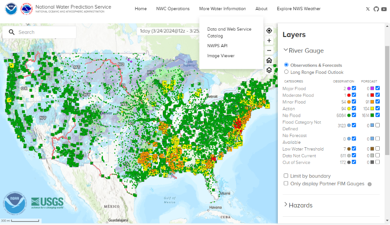
U.S. National Weather Service announces all-in-one portal for hydrological forecasting and analysis...

High-tech mapping effort provides inch-by-inch detail of more than 350,000 parcels in Duval County, Florida....

The three-year Surface Water and Ocean Topography mission was co-launched by the U.S. and French space agencies in...

Researchers in Germany use seismometers to provide earlier flood warnings in Europe’s increasingly flood-prone river valleys...
‘Simplified’ flood-mapping approach captures uncertainty in hazard modeling quickly and at minimal costs...

Dr. Will Cavendish, Arup (London) Global Digital Services Leader, describes using cutting-edge technology to make better green infrastructure...
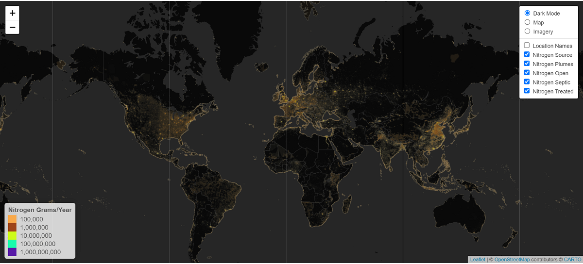
A new model maps the world’s biggest contributors of excess nitrogen into oceans and highlights how stormwater professionals...

Satellite-enabled resource helps planner visualize nearly 40 years of flooding across more than 170 countries....

Water Research Foundation releases free-to-use, multifunctional decision-support tool for planning stormwater interventions. Find out how to access...

Densely populated cities could attract stronger winds and more rain compared to other areas....
The U.S. Geological Survey (USGS) has released new interactive mappers and models for its online SPAtially Referenced Regression...